|
Walks in The Lake District |

|
|
Walks in The Lake District |
This short and easy Orrest Head walk from Windermere follows the accessible blue waymarked route through Elleray Wood, passing benches, woodland birdsong and a set of fun Gruffalo-style carvings on the way. At the summit, you are rewarded with a magnificent view over Lake Windermere and the Lakeland fells, and it is also the spot where Alfred Wainwright first saw the Lake District, a moment that helped shape his life and writing. Wainwright said of Orrest 'Orrest Head for many of us, is 'where we came in' - our first ascent in Lakeland, our first sight of mountains in tumultuous array across glittering waters, our awakening to beauty. It is a popular walk, deservedly, for here the promised land is seen in all its glory. It is a fitting finale, too, to a life made happy be fellwandering. Dare we hope there will be another Orrest Head over the threshold of the next heaven?'
|
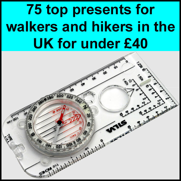
Best gifts for walkers - 49 top presents for hikers under £40 If you are wondering what to buy someone who likes walking, or searching for those inexpensive or personalised gifts for hikers, then look no further. We've put together a selection of practical presents under £40 that any walker or hiker in the UK would like to receive. Read our article: Best gifts for walkers - 49 top presents for hikers under £40 |

|
What to wear and take on your walk If you are new to walking and want to know what to wear and take on your walk, or want to know what to consider when buying your walking clothes and equipment, then these articles are for you. We'll also take you through our favourite walking boots, walking jackets, walking trousers, rucksacks, backpacks, water bottles, mapping and safety equipment etc. of 2026. Read our articles: What to wear on a walk and What to take on a walk |
| Start: | Orrest Head footpath sign next to A591 in Windermere (grid reference SD 412 987). |
| Parking: | Quite a few places to park in Windermere including Broad Street car park as shown in the video. |
| Directions: | Google Maps: get directions here / What3words: stored.purified.buildings |
| Walk distance: | 2.2 miles (3.5 Km) |
| Estimated walk time: | 1 hour |
| Height climbed: | 136 metres |
| Grade: | 1-A: A short walk that is generally very flat |
| Peaks / summits: | Orrest Head |
| Wainwrights: | Outlying Fell - Orrest Head: 781ft / 238m |
| Map: | Ordnance Survey - Explorer OL7 (The English Lakes - South-eastern Area) Buy this map from Ordnance Survey |
| Walk features: | Birds, Flowers, Geographic feature, Stream or River, Views, Waterfall, Wildlife, Woodland |
| Facilities / refreshments: | Toilets and numerous Pubs and Cafés nearby in Windermere |
| Nearest town: | Windermere |
| Local self-catering accommodation: | View self-catering accommodation close to the start of this walk |
| Local hotels, inns and B&Bs: | View hotels and inns close to the start of this walk from The Inn Collection Group |
| Walk Tags: | Lake District, Cumbria, Orrest Head, Windermere, Wainwright, Windermere railway station, A591, A5074, Causeway Farm, St Catherine's Wood, High Hay Wood, Elleray Bank |
This Orrest Head walk from Windermere is a short, rewarding and easy-to-follow route to one of the best-known viewpoints above Lake Windermere. Starting from the Orrest Head footpath sign next to the A591, near Windermere railway station and nearby parking, the route follows the blue waymarkers of the Miles Without Stiles path through Elleray Wood.

Footpath to Orrest Head sign by the A591 in Windermere
It is one of the easier ways to reach a summit viewpoint in the Lake District. Although there are still a few steeper slopes and gravel sections, there are no stiles, gates or steps, making it a good option for families, casual walkers and anyone wanting a shorter outing with excellent views.
Just a few yards beyond the start, information boards welcome you to Orrest Head and Elleray Wood. One shows your current location and the summit's position, while the other explains the importance of Orrest Head in Alfred Wainwright's life.
For many walkers, Orrest Head is much more than a short climb above Windermere. It was here that Wainwright first saw the Lake District after arriving from Blackburn, and that first view of the fells and the lake below had such a profound effect on him that it helped shape the rest of his life.
The walk begins by heading up the road, following the blue signs for Orrest Head. This is the Miles Without Stiles route, the more accessible option to the summit. After a short distance, you reach signpost number two, where the route leaves the road and turns left onto a wide gravel path.

The number two blue waymarker on the Miles Without Stiles route
From here on, the route is very straightforward to follow, with numbered wooden waymarkers and blue arrows guiding the way.

Heading along the gravelled track through Elleray Wood
At signposts three and four, you continue ahead, and later, at post number six, where the path splits beside a wall, the blue route keeps to the right.

The number six blue waymarker by the side of the track through Elleray Wood
The red route, which appears at several points during the walk, also leads to the summit but is shorter, steeper and less even underfoot, with roots and steps. The blue route remains the easier and smoother option.
As the path climbs gradually through Elleray Wood, the walk has a pleasant woodland feel, with birdsong often all around. There are several benches along the way, making it easy to stop and rest if you wish.

The money tree in Elleray Wood on the Orrest Head walk
One of the more unusual features on the route is the small money tree, where coins have been hammered into the wood in the old tradition of wishing trees. Nearby are information boards and a series of carved wooden figures, including a fox, an owl, a squirrel, a snake and a horned Gruffalo-style character.

The Gruffalo-style wooden carvings in Elleray Wood on the way to Orrest Head
These carvings add a bit of fun to the walk and help make it a very good introduction to hill walking for younger walkers. Opposite them is the small Blacksmith's coffee stop, a converted horsebox that serves drinks and cakes when open.
Beyond here, the route continues steadily uphill along the wide gravel track, passing more numbered markers, including number nine, as the first wider glimpses of the Lakeland fells begin to appear.

An initial view of some of the Lakeland Fells from Elleray Wood
The path remains easy to follow throughout, with the blue route repeatedly diverging from the red path, which cuts more directly uphill.
Higher up, the path opens up, with several benches where you can pause and begin to enjoy the increasingly expansive views. As you gain height, Windermere appears below, and to the right, and just before passing through a gap in the wall, there is an especially good spot to stop and look back over the lake and town.

An initial view down towards Lake Windermere while heading towards Orrest Head
Continuing past post number eleven and towards post number twelve, the trees begin to thin, the summit comes into view, and the landscape starts to open up.
At the top, Orrest Head offers a superb natural viewpoint.

Looking towards Lake Windermere and the Lakeland Fells from Orrest Head summit
The summit has been enhanced by the Orrest Head Compass, a circular seating-and-viewing feature created by local artist and blacksmith Chris Bramall.

The compass built onto the summit of Orrest Head
The compass is not just a place to sit but also a carefully designed viewing aid, with benches radiating from the central marker, aligned with the compass bearings.

Looking towards the East from Orrest Head summit
From here, the panorama is magnificent, with Lake Windermere spread below, the Lakeland fells rising beyond, views towards Kentmere, and, on a clear day, sightlines reaching towards the coast.

Looking down towards the southern end of Lake Windermere from Orrest Head summit
It is one of the finest easily accessible viewpoints in the Lake District.
Orrest Head is especially significant for its association with Alfred Wainwright. After stepping off the train at Windermere in 1930, he made his way here for his first view of Lakeland, a moment he later described as life-changing.

The view over the Alfred Wainwright commemorative plaque on Orrest Head summit
He stood transfixed by what he saw, and that first encounter with the fells shaped the course of his life. Wainwright later moved to Kendal and went on to write the celebrated seven-volume Pictorial Guide to the Lakeland Fells, which introduced generations of walkers to the Lake District.

The Alfred Wainwright plaque on Orrest Head summit
If you would like to find out more about his life, background and books, you can read our full Alfred Wainwright article.
You can also explore our interactive 214 Wainwrights map and the ultimate Wainwrights guide, which are useful ways to discover all the Lakeland fells featured in his famous guides. Together, these provide more background on why Wainwright remains such an important figure in Lake District walking.
A little below the summit, there is also a commemorative plaque depicting the surrounding hills, adding another point of interest before heading back down.
If you want to make the walk a little longer, there is a path beyond the summit that can be used to form a more circular route, rejoining woodland paths lower down. However, the walk described here returns by the same route.
To descend, simply follow the blue waymarkers back down, passing marker number 13 near the summit, then retrace your steps along the gravel path through the woods.

The Miles Without Stiles path heading back down through Elleray Wood
On the way down, the views over Windermere reappear, and you pass the benches, the Gruffalo-style carvings, the money tree and the familiar numbered markers once more before returning to the footpath sign at the start.

Passing back onto the road heading through Elleray Wood
This is a short but memorable walk that combines woodland, family-friendly features, straightforward navigation, Wainwright history, and one of the most rewarding viewpoints above Windermere. There are plenty of places to eat and drink in Windermere, before or after your walk, as shown in the video above.
For anyone seeking an easier Lake District walk with a real summit feel, Orrest Head is an excellent choice.
For a full description OS map, etc., check out the Orrest Head walk on walks4all.com.
| Want to know roughly how many steps this walk involves, or how many calories you may burn along the way? Try our Walks4All Advanced Walking Calculator for a personalised estimate based on the walk’s distance and elevation, together with your own biometrics. |
Click here for Disclaimer