|
Walks in The Lake District |

|
|
Walks in The Lake District |
Whilst there are great views from the car park opposite the Kirkstone Pass Inn, the views can be enhanced by a walk up to Stony Cove Pike. The walk heads up along St Raven's Edge and then onto Caudale Moor before reaching Stony Cove Pike. From here there are views of many of the Lakeland Fells and out to the sea in Morecambe Bay. The return walk heads back down the outward path but offers differing views.
|
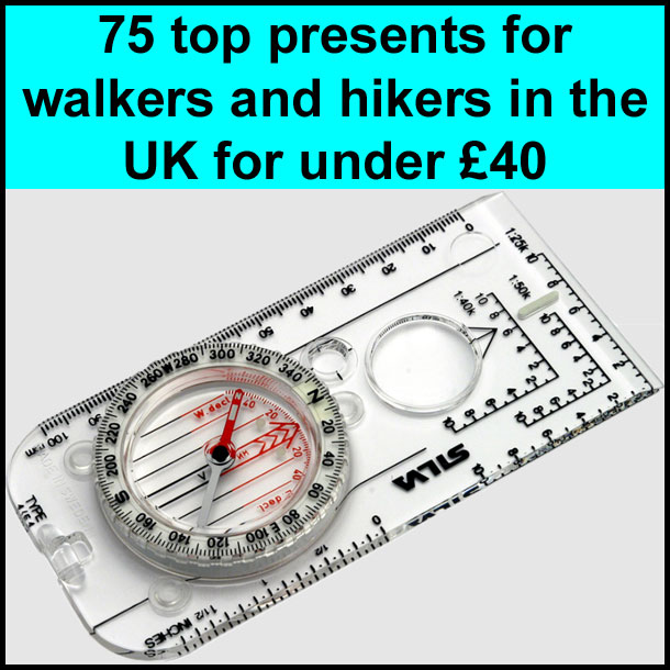
Best gifts for walkers - 49 top presents for hikers under £40 If you are wondering what to buy someone who likes walking, or searching for those inexpensive or personalised gifts for hikers, then look no further. We've put together a selection of practical presents under £40 that any walker or hiker in the UK would like to receive. Read our article: Best gifts for walkers - 49 top presents for hikers under £40 |

This walk is sponsored by
|
What to wear and take on your walk If you are new to walking and want to know what to wear and take on your walk, or just want to know what to consider when buying your walking clothes and equipment then these articles are for you. We'll also take you through our favourite walking boots, walking jackets, walking trousers, rucksacks, backpacks, water bottles, mapping and safety equipment etc. of 2026. Read our articles: What to wear on a walk and What to take on a walk |
| Parking: | Kirkstone Pass Car Park on A592 (grid reference NY 401 080). |
| Directions: | Google Maps: get directions here / What3words: templates.gestures.shot |
| Walk distance: | 4.6 miles (7.4 Km) |
| Estimated walk time: | 2 hours |
| Height climbed: | 430 metres |
| Grade: | 2-C: A medium length walk that has rugged terrain and some steep climbs |
| Peaks / summits: | Pike How, Stony Cover Pike |
| Wainwrights: | Stony Cove Pike (Caudale Moor): 2506ft / 764m - 55th highest |
| Map: | Ordnance Survey - Explorer OL7 (The English Lakes - South-eastern Area) Buy this map from Ordnance Survey |
| Walk features: | Birds, Hills or fells, Lake or tarn, Pub, Views, Wildlife |
| Facilities / refreshments: | Pub by the car park at the start of the walk. Many pubs, toilets and cafés in nearby Ambleside |
| Nearest town: | Nearest town Ambleside |
| Local self-catering accommodation: | View self-catering accommodation close to the start of this walk |
| Local hotels, inns and B&Bs: | View hotels and inns close to the start of this walk from The Inn Collection Group |
| Walk Tags: | Ambleside, Kirkstone Pass, Kirkstone Inn, St Raven's Edge, Wainwright, Wainwright walk, Stony Cove Pike, Caudale Moor, Ullswater, Lake District, Lake District walk, Lake District National Park |

Kirkstone Pass car park

Kirkstone Pass Inn
Leave the car park and cross the road heading for the left-hand side of the public house. Leave the road and follow the path up behind the bus-stop a few yards from the public house, initially going up a few steps before going over a wooden stile a further 20 metres on.

The start of the walk - the path up behind the Inn
The initial part of the walk is clearly visible straight ahead. Over the stile, follow the footpath heading off slightly upward diagonally left for a gap in the walls. At the corner of the walls go over a wooden stile following the signpost with a green sticker with a yellow arrow on it pointing uphill. The well defined path now heads steeply uphill keeping all the while to the left of the wall. The path meanders up to and from the wall, sometimes helped by the man-made steps laid into the side of the hill. After a while, Brothers water is visible over to the left. Some parts of the early climb require small amounts of scrambling. Then path at one stage climbs for about 5 metres directly next to the wall, between rocks to the left and the wall on the right. Just through this, the path turns away to the left before swinging back right towards the wall. As the path starts to flatten and become more grassy, it passes to the right of a large cairn. About 5 metres past this there is the start of a tumbled down wall. Cross over the tumbled down wall here and start to head slowly down following the path to the right of the wall, which now can be seen stretching out for about 1 kilometre ahead.

View down to Brothers Water from the first climb

Path by the cairn with Stoney Cove Pike in the background

Looking back down the path with both ends of Windermere now visible

View across to Ill Bell on the Kentmere Horseshoe
The path keeps about 5 metres to the right of this wall going along St Raven's Edge and can now almost be seen from here all the way to the summit of Stony Cove Pike. It follows the line of the wall for the majority of the walk, before bending around to the right upon reaching the far horizon directly ahead. Continue on, then head slightly downhill with the wall on your left in roughly an easterly direction for a few hundred metres before bending around with the wall to the left following a north-north easterly direction. Looking back, Red Screes is visible to the right, and Windermere is visible straight ahead. Continuing on the long climb following the wall, over to the right can now clearly be seen the footpath along the western side of Kentmere Horseshoe. The Kentmere path can be seen climbing over Ill Bell, down and up onto Frostwick before reaching the beacon at Thornthwaite crag.

View down Troutbeck Valley to Windermere
After following this line for about a kilometre, the path begins to flatten and turns along with the wall around to the right in a easterly direction. In the distance to the right over the Troutbeck Valley, the full length of Windermere can be seen, partly obscured in its centre by Wansfell. Behind Windermere, Morecambe Bay can be seen in the far distance. After a few hundred metres a path comes in to intersect with the one being followed to effectively from a T-junction. Go over the tumbled down wall and head diagonally left in a north-easterly direction on a well defined grassy path for about 100 yards to the cairn on Stony Cove Pike. Before starting the return leg down to the car park, further interesting views can be seen by continuing on the path for a few minutes past the trig point. Even though this path drops down about 50 metres, there is an excellent view down to Ullswater on the left. In front, the far end of Kentmere Horseshoe can be seen climbing onto High Street. Continuing around to the left the Helvellyn range can then be seen. Return back up to the trig point.

Cairn at Stony Cove Pike with Thornthwaite Crag and High Street behind

View through Patterdale to Ullswater
Leave the cairn and head back across in a south south-westerly direction to the tumbled down wall. Cross over the wall and keeping to the left of the wall start the descent back down on the same path that was used on the way up. Even though this walk follows the same return path as the one used on the way up, the breathtaking panoramic views of lakes and the sea to the south, almost make you feel as though you are on a different walk to the panoramic hill ridge views to the north on the first half of the walk.

View down to car park with the start of Red Screes rising up behind it
Follow the left-hand side of the wall in a westerly direction before bending round in a southerly direction, heading back towards Windermere. Follow the wall for about one kilometre. The path closes in on the wall as it rounds a knoll on your left-hand side. Shortly after this the cairn is reached where the path crosses to the right-hand side of the wall before heading back down the steep descent to the Kirkstone Pass public house, which is clearly visible along with the car park down below. After the steep descent go over the wooden stile, head diagonally across the next field towards the public house, over the next stile and back on to the road. Cross over the road and enter back in to the car park.
| Want to know roughly how many steps this walk involves, or how many calories you may burn along the way? Try our Walks4All Advanced Walking Calculator for a personalised estimate based on the walk’s distance and elevation, together with your own biometrics. |
Click here for Disclaimer